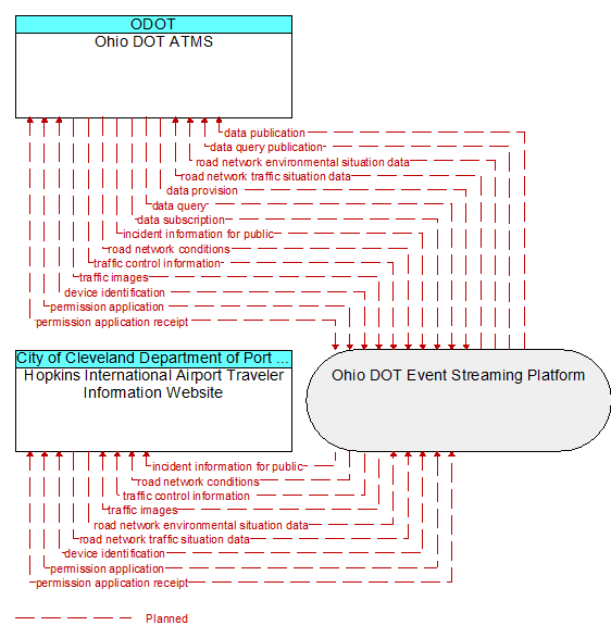
Interface: Ohio DOT ATMS - Hopkins International Airport Traveler Information Website
Architecture Flow Definitions
device identification (Planned)
An identifier and device type designation that is used to uniquely identify a device in the Connected Vehicle Environment.
incident information for public (Planned) Applicable ITS Standards
Report of current desensitized incident information prepared for public dissemination.
permission application (Planned)
A request for permission to access a Connected Vehicle service by an end–user that requires enrollment. This may include services granted to drivers of low emissions vehicles or pedestrians with special needs that require extended crossing times for example.
permission application receipt (Planned)
An acknowledgment that an end–user application for a Connected Vehicle service was received and processed.
road network conditions (Planned) Applicable ITS Standards
Current and forecasted traffic information, road and weather conditions, and other road network status. Either raw data, processed data, or some combination of both may be provided by this flow. Information on diversions and alternate routes, closures, and special traffic restrictions (lane/shoulder use, weight restrictions, width restrictions, HOV requirements) in effect is included.
road network environmental situation data (Planned) Applicable ITS Standards
Aggregated environmental situation data collected from vehicles and other sources for the road network. Aggregated information would include measured air temperature, exterior light status, wiper status, sun sensor status, rain sensor status, traction control status, ALB status, and other collected vehicle system status and sensor information for the region.
road network traffic situation data (Planned) Applicable ITS Standards
Aggregated route usage, travel times, and other aggregated data collected from probe vehicles that can be used to estimate current traffic conditions.
traffic control information (Planned) Applicable ITS Standards
Represents the flow of traffic control and status information from a TMC to a third party TIC. This is reporting only, not actual control.
traffic images (Planned) Applicable ITS Standards
High fidelity, real–time traffic images suitable for surveillance monitoring by the operator or for use in machine vision applications. This flow includes the images and meta data that describes the images.