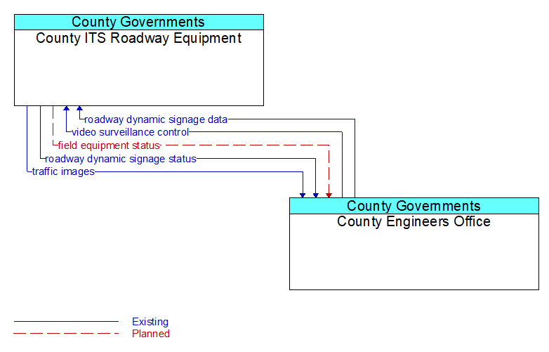
Interface: County ITS Roadway Equipment - County Engineers Office
Architecture Flow Definitions
field equipment status (Planned) Applicable ITS Standards
Reports from field equipment (sensors, signals, signs, controllers, etc.) which indicate current operational status.
roadway dynamic signage data (Existing) Applicable ITS Standards
Information used to initialize, configure, and control dynamic message signs. This flow can provide message content and delivery attributes, local message store maintenance requests, control mode commands, status queries, and all other commands and associated parameters that support remote management of these systems.
roadway dynamic signage status (Existing) Applicable ITS Standards
Current operating status of dynamic message signs, highway advisory radios, or other configurable field equipment that provides dynamic information to the driver.
traffic images (Existing) Applicable ITS Standards
High fidelity, real–time traffic images suitable for surveillance monitoring by the operator or for use in machine vision applications. This flow includes the images and meta data that describes the images.
video surveillance control (Existing) Applicable ITS Standards
Information used to configure and control video surveillance systems.